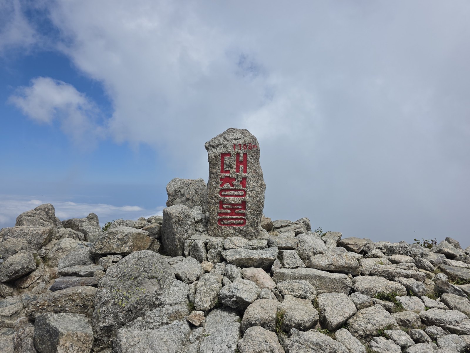
On the last day of August 2026, the Seoraksan National Park Office reported that leaves had begun to colour around Daecheongbong, the 1,708-metre summit that is usually the first place in South Korea to turn. Average temperatures up there had settled near 16 degrees, the daily temperature swing had widened, and leaves were going yellow and red.
The Korea Meteorological Administration still did not call it first foliage. Not because anyone disputed the leaves, but because Korea's official definition of first foliage is a fraction rather than a sighting, and that fraction had not been reached.
This is the part that quietly complicates autumn travel planning. Korea does not publish one peak foliage date. It publishes two, from two different agencies, using two different rules, and neither means quite what a visitor assumes.
Two agencies, two rulers
The weather service measures whole mountains. Its own observation documentation is blunt about the arithmetic: for the designated famous mountains, the start date is when roughly 20 percent of the mountain has coloured, counted downward from the summit, and the peak date is when about 80 percent of the whole mountain has turned. A second, separate rule covers the standard trees kept at observation stations, where one designated tree is judged at the same 20 and 80 percent marks.
The forest service measures species instead. Its annual Forest Foliage Prediction Map defines peak as the moment each tree species is at least 50 percent coloured, then publishes an average date per species rather than per mountain. In the 2025 map, released on 1 October that year, those species averages were 28 October for ginkgo, 31 October for oaks and 1 November for maples.
One agency is asking how much of a mountain has changed. The other is asking how far along a particular kind of tree is. Both answers are correct, they are answers to different questions, and there is no reason for them to land on the same day.
The detail the forecasts rarely mention
The weather service keeps 21 designated famous-mountain observation points, and its published table holds a detail that almost never survives into the news summaries: on each mountain, first foliage and peak foliage are not judged from the same place.
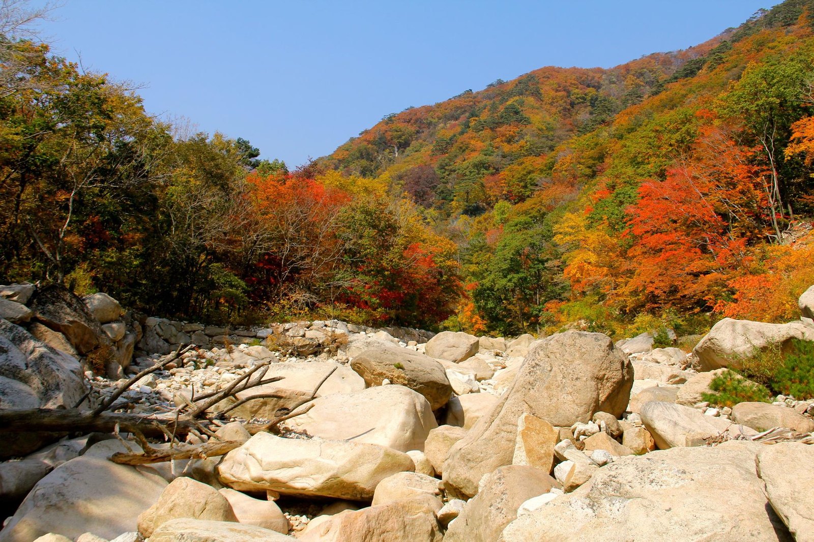
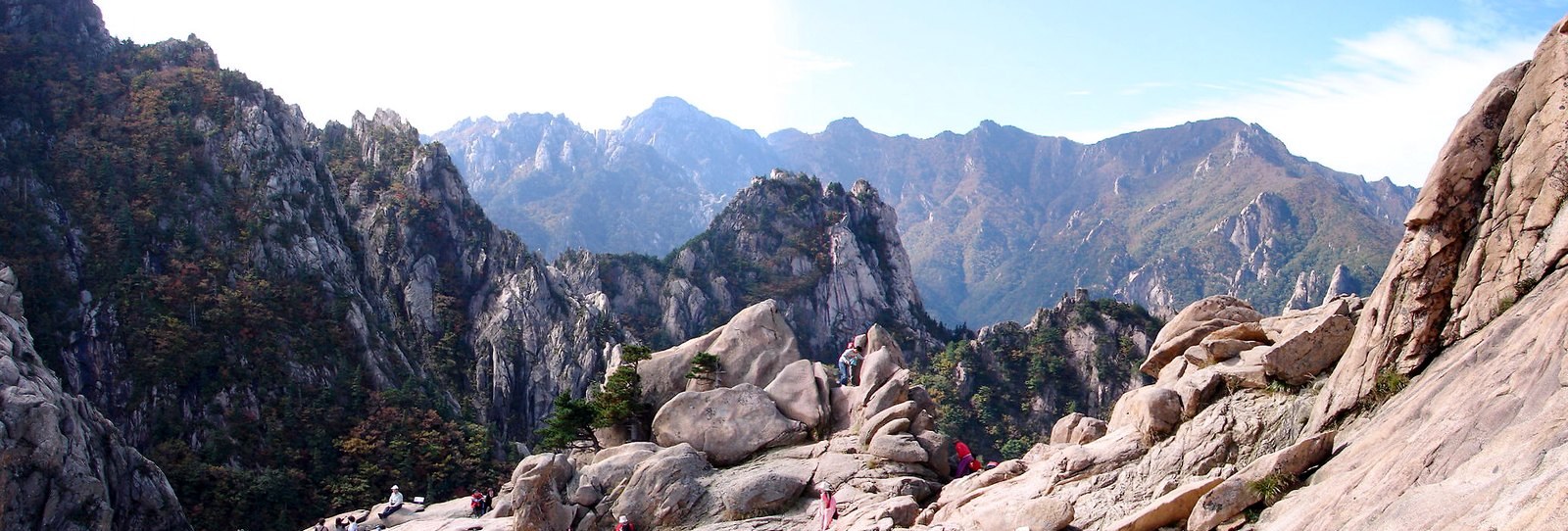
Take Seoraksan. The summit stands at 1,708 metres. First foliage is observed at 1,394 metres, at the midpoint between the mountain's automatic weather station and the upper end of the Gongnyong ridge. Peak foliage is observed at 454 metres, on the lower slope beneath Gwongeumseong. The two readings are taken 940 metres apart in elevation.
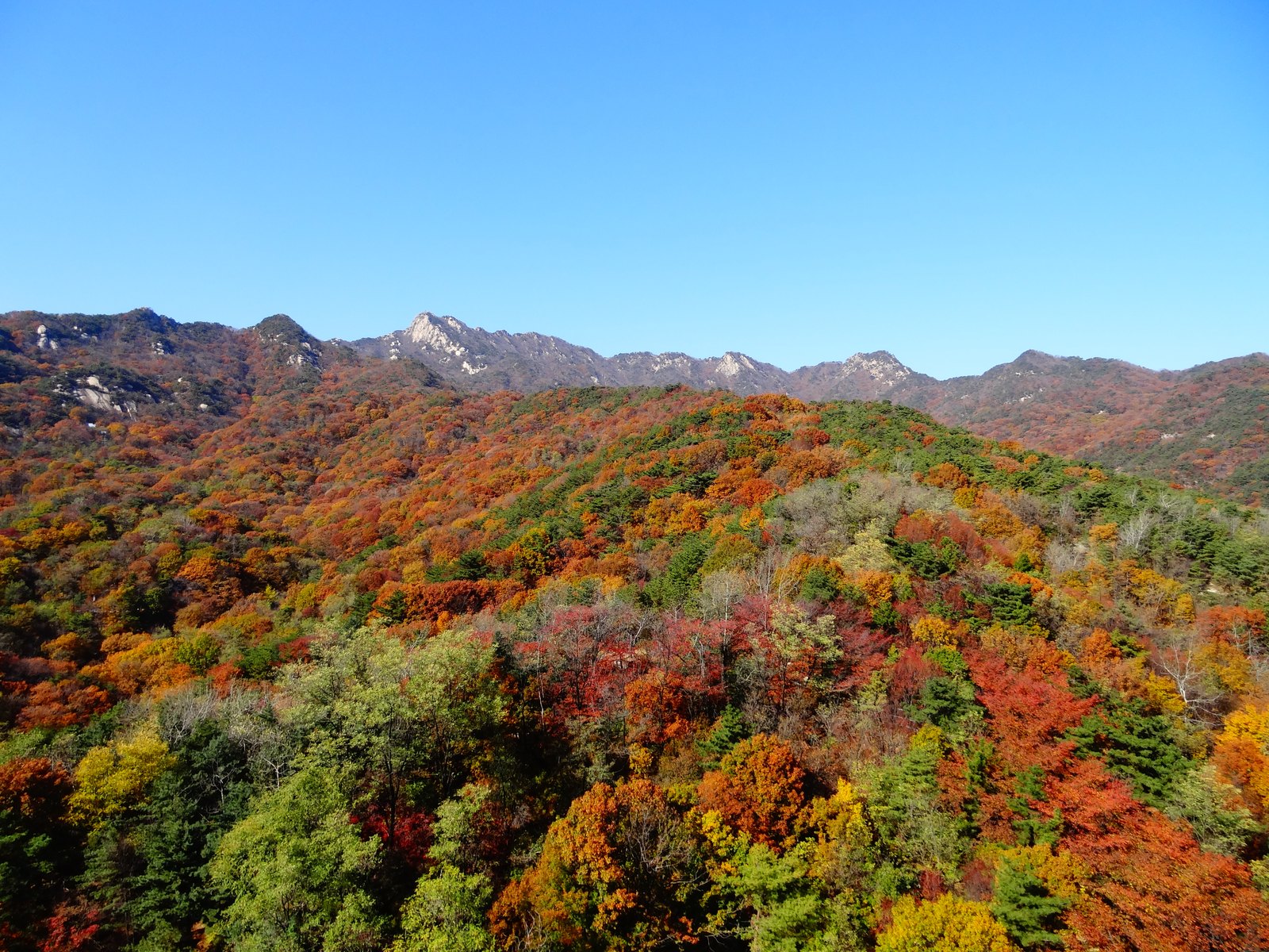
It is not a Seoraksan quirk. Every one of the 21 points follows the same shape, with the first-foliage vantage high and the peak vantage far lower down. Bukhansan reads first colour at 696 metres and peak at 273. Naejangsan reads 654 and 328. Hallasan reads 1,676 and 854. The narrowest gap in the entire table is Juwangsan at 271 metres; the widest is Seoraksan's 940.
Once that is clear, the calendar makes more sense. First foliage is a statement about the top of a mountain. Peak is a statement about its lower slopes. They describe the same autumn arriving in two places weeks apart, and the announced dates follow the observers as much as the trees.
What the forest service map is for
The prediction map is a different instrument, and it helps to read it as one. It is produced by the Korea National Arboretum together with nine regional public arboretums and the National Institute of Forest Science, drawing on long-term plant phenology records and mountain weather data.
Because it works by species, it can say things the whole-mountain method cannot. The 2025 edition noted that maple colour would begin around 25 October at Seoraksan, 27 October at Songnisan and as late as 11 November at Gayasan. It also carried a slower, more consequential finding: peak timing has drifted roughly 4 to 5.2 days later than the average of the previous ten years, moving about 0.43 days later per year for maples, 0.50 for ginkgo and 0.52 for oaks.
That drift is the practical reason old advice ages badly. A guide that tells you late October is reliable was written for a slightly earlier Korea.
How to plan around it
Start by deciding which question you are actually asking. If you want a mountain that reads as autumn from a distance, the weather service peak date is the closer match, because it describes the mountain as a whole. If you want one particular thing, a ginkgo avenue or a maple valley, the forest service species dates are the better guide.
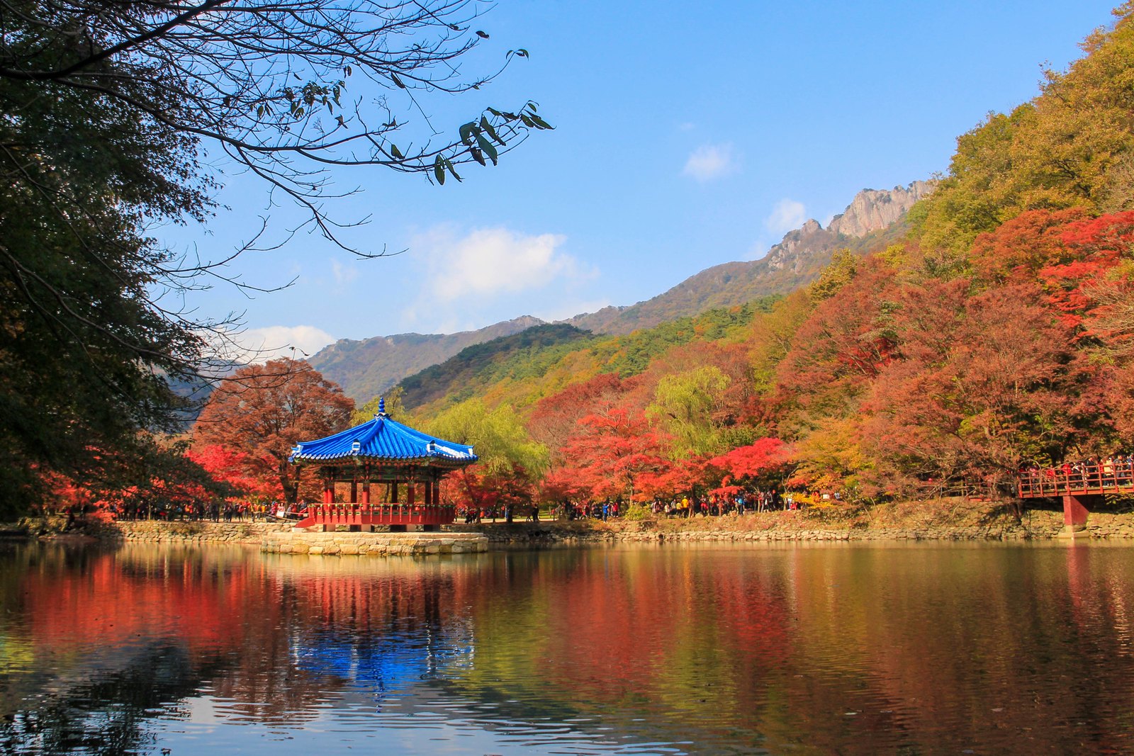
Then adjust for height. If you are heading for a summit or a high ridge, you want the first-foliage window, not the peak window, because by the time a peak date is announced the top has often already gone bare. If you are walking a valley trail, a temple approach or a lakeside path, the peak date is aimed much closer to where you will be standing.
Finally, treat both dates as a centre rather than an appointment. Neither agency is promising a single perfect day, and the same mountain can hold three seasons at once: bare branches high up, full colour in the middle, and green at the bottom.
Where 2026 stands
As of 5 September 2026, the forest service's prediction map for this year had not yet appeared on its press-release board. The 2025 map came out on 1 October, so the wait is normal rather than a sign that anything has changed. Until then, the weather service's mountain observations are the live signal, and they are what the Seoraksan office was measured against on 31 August.
For reference, Seoraksan's normal first-foliage date is 28 September, and in 2025 it arrived on 2 October. Colour on Daecheongbong in late August is early for the eye and, by the official rule, still not autumn.
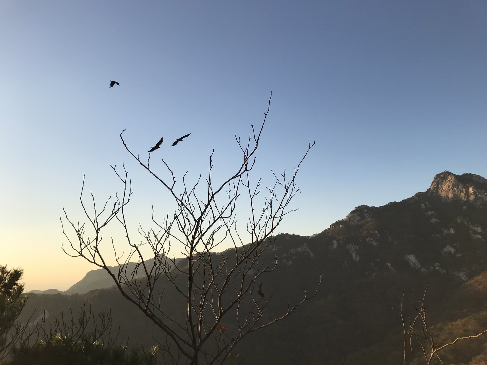
Two agencies, two definitions, and a mountain that never turns all at once. Once the arithmetic is visible, the disagreement stops looking like a mistake and starts looking like what it is: two honest answers to two different questions, both of them worth reading before booking anything.
The weather service that keeps the mountain observations is also the agency behind Korea's weather advisories and warnings, so the companion piece on reading Korean weather forecasts, warnings and disaster alerts is the practical skill that makes its bulletins legible day to day.
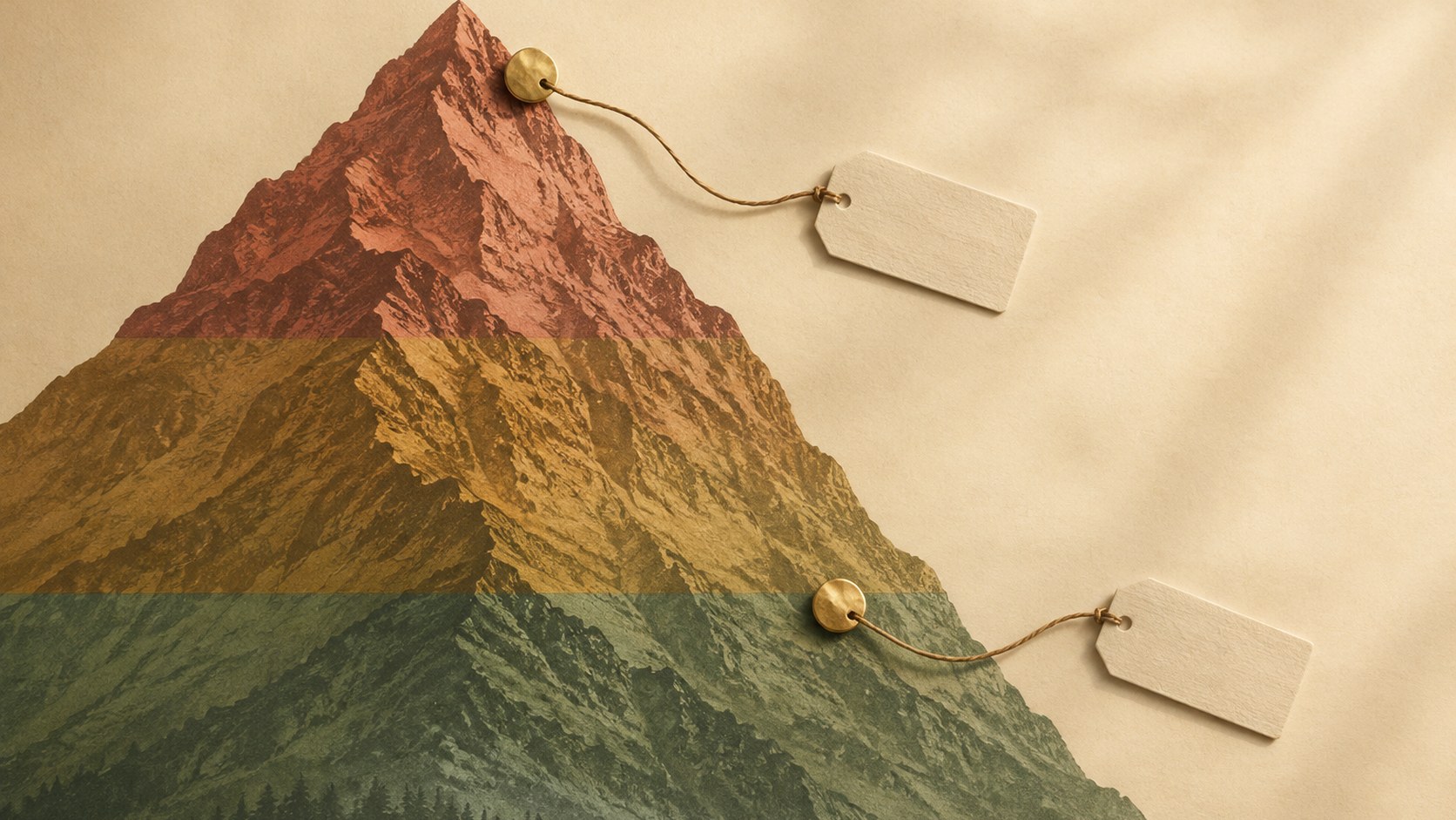
Editorial method: AI helped gather and draft this piece. The whole-mountain thresholds and the 21 observation points, with their elevations, are read from the Korea Meteorological Administration's seasonal-observation documentation; the species dates and the drift figures come from the Korea Forest Service's 2025 prediction-map release; and the Seoraksan colour report is from a Yonhap wire story of 31 August 2026. The "not yet published" note reflects the forest service's press board as checked on 5 September 2026. The seven mountain photographs come from Wikimedia Commons with their licences in the captions; the banded mountain on the cover is AI-generated and is not a map.
Sources checked
Last reviewed September 5, 2026.
- 계절관측 데이터 — 3.1.4 단풍 정의 및 유명산 단풍 관측장소(21개 지점) (observation methodology reference) — 기상청 (Korea Meteorological Administration)
- 2025년 단풍 예측지도 발표 (2025-10-01 press release) — 산림청 (Korea Forest Service)
- 산림청 보도자료 게시판 '단풍' 검색 결과 (board listing checked 2026-09-05) — 산림청 (Korea Forest Service)
- 설악산 대청봉 일대서 단풍 관측…기상청 기준 '첫 단풍'은 아직 (2026-08-31 wire report) — 연합뉴스 (Yonhap News Agency)
Schedules, prices and operating rules can change. Where a detail is time-sensitive, the linked operator remains the final authority.